9.3 Integrating an external mapping tool and the FME Server Javascript API
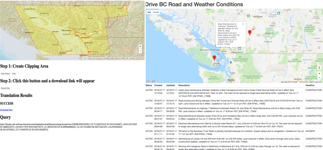
In the first exercise, we built a form that allows a user to download requested data. However, it would be difficult for a user to gauge the coordinates needed for the download. ESRI Maps can be incorporated so the user can select an area on the map they would like to see.
This example allows a user to draw a point, line, or polygon using the drawing tools from the ArcGIS JavaScript API. When the geometry has been created on the map, it is then sent to a workspace as well known text (WKT). The workspace will convert that geometry into GeoJSON and stream it back to the web application.